SUMMARY
WAIT
Too late to start a PWC crossing today (as of 3pm) — wait until tomorrow morning.
Within all GO thresholds
Today's recommendation
GO all day · 1-2ft.
Surface Wind
8kt ESE
No N wind
Seas
2ft @ 12s
Vessel max 4ft
Precip Chance
10%
Mostly Cloudy
Tropical
Clear
48hr 0% · 7d 0%
Height Today
ft
Weather & Sea Conditions
Sargassum Risk · USF EFCOM
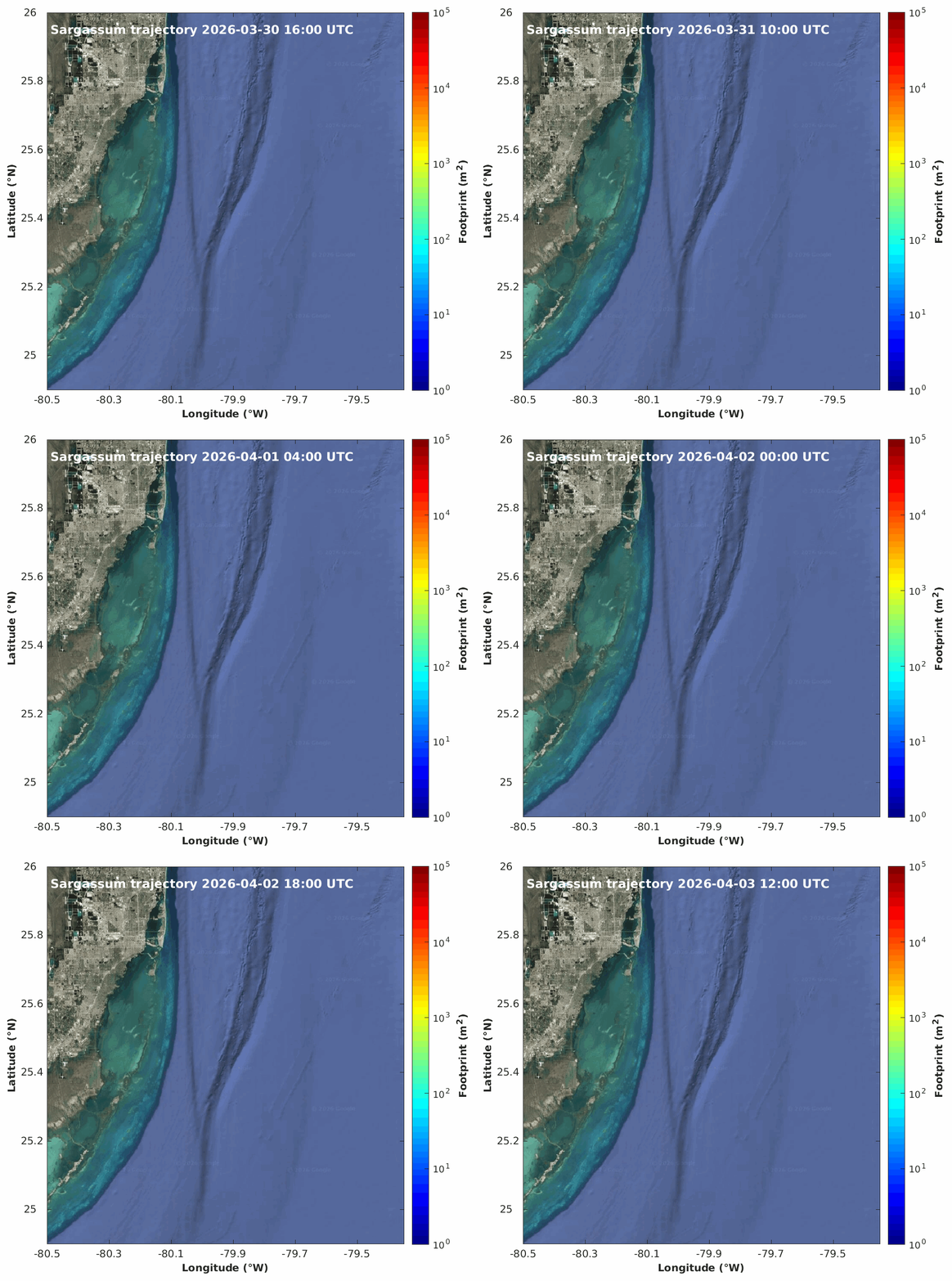
1-day hindcast + 3.5-day forecast · updated daily · large mats can clog PWC intakes · open tracker ↗
7-Day Rated Outlook
WED 11
Wind & sea state
GO
Period Range
2ft @ 12s (12am) → 1ft @ 11s (6am)
10kt SE
23% rain · AfternoonSlight Chance Rain Showers then Mostly Cloudy
Recommendation
GO all day · 1-2ft.
THU 12
Wind & sea state
GO
Period Range
1ft @ 11s (12am) → 2ft @ 3s (9pm)
14kt WSW
38% rain · AfternoonMostly Cloudy then Chance Showers And Thunderstorms
Recommendation
GO all day · 1-2ft.
FRI 13
Wind & sea state
SPORTY
why: wind
Period Range
3ft @ 3s (9am) → 2ft @ 5s (3pm)
16kt NW
10% rainMostly Cloudy
Recommendation
GO until 6am · 1-2ft, then NO-GO after 6am (Northerly Wind 13kt NW · Seas 2ft @ 3s) · 2-3ft.
SAT 14
Wind & sea state
NOPE
why: N wind
Period Range
3ft @ 6s (12am) → 6ft @ 6s (3pm)
18kt NNW
1% rainSunny
Recommendation
NO-GO all day (Northerly Wind 14kt NNW · Seas 3ft @ 6s) · 2-6ft.
SUN 15
Wind & sea state
SPORTY
why: wind
Period Range
5ft @ 6s (12am) → 3ft @ 6s (6pm)
15kt ENE
15% rainPartly Cloudy then Slight Chance Rain Showers
Recommendation
NO-GO until 6pm (Seas 5ft @ 6s · Northerly Wind 13kt NE · Seas 5ft @ 6s) · 3-5ft, then CAUTION 6pm–9pm (Seas 3ft @ 6s) · 3ft, then NO-GO after 9pm (Seas 4ft @ 4s) · 3-4ft.
MON 16
Wind & sea state
NOPE
why: seas/period
Period Range
4ft @ 5s (12am) → 7ft @ 5s (9pm)
24kt E
43% rain · All dayChance Rain Showers
Recommendation
NO-GO all day (Seas 4ft @ 5s) · 3-7ft.
TUE 17
Wind & sea state
SPORTY
why: wind
Period Range
8ft @ 5s (12am) → 3ft @ 6s (3pm)
28kt ESE
Recommendation
NO-GO until 3pm (Wind 29kt E · Seas 8ft @ 5s) · 3-8ft, then CAUTION 3pm–9pm (Seas 3ft @ 6s) · 3ft, then NO-GO after 9pm (Seas 5ft @ 4s · Northerly Wind 19kt NNW · Seas 5ft @ 4s) · 4-5ft.
Days 1–14 Summary Matrix
| Date | Wind | Swell | Period | Weather | Evaluation | Rating |
|---|---|---|---|---|---|---|
| WED 11 | 10kt SE | 2ft | 11s | 23% · Afternoon Slight Chance Rain Showers then Mostly Cloudy | HIGH CONFIDENCE | GO |
| THU 12 | 14kt WSW | 1ft | 3s | 38% · Afternoon Mostly Cloudy then Chance Showers And Thunderstorms | HIGH CONFIDENCE | GO |
| FRI 13 | 16kt NWN | 6ft | 3s | 10% Mostly Cloudy | MODERATE ⚠ | SPORTY |
| SAT 14 | 18kt NNWN | 6ft | 5s | 1% Sunny | MODERATE ⚠ | NOPE |
| SUN 15 | 15kt ENEN | 6ft | 4s | 15% Partly Cloudy then Slight Chance Rain Showers | MODERATE ⚠ | SPORTY |
| MON 16 | 24kt E | 5ft | 5s | 43% · All day Chance Rain Showers | MODERATE ⚠ | NOPE |
| TUE 17 | 28kt ESEN | 6ft | 4s | — | PATTERN ONLY | SPORTY |
| WED 18 | 26kt NNEN | 11ft | 6s | — | Pattern | NOPE |
| THU 19 | 19kt NEN | 6ft | 8s | — | Pattern | NOPE |
| FRI 20 | 19kt NEN | 5ft | 8s | — | Pattern | NOPE |
| SAT 21 | 14kt NEN | 4ft | 7s | — | Pattern | SPORTY |
| SUN 22 | 15kt ESE | 3ft | 10s | — | Pattern | SPORTY |
| MON 23 | 11kt SSW | 2ft | 11s | — | Pattern | GO |
Pattern Outlook (8–14 Day)
Long-range NWS extended discussion: N winds 15 to 20 kt, diminishing to 10 to 15 kt in the afternoon. Seas 4 to 6 ft, occasionally to 8 ft. Intracoastal waters a moderate chop. NE winds 10 to 15 kt. Seas 3 to 5 ft, occasionally to 6 ft. Intracoastal waters a moderate chop. NE winds 10 to 15 kt, increasing to 15 to 20 kt in the afternoon. Seas 3 to 5 ft, occasionally to 6 ft. Intracoastal waters choppy in exposed areas. E winds 15 to 20 kt with gusts up to 25 kt. Seas 4 to 6 ft, occasionally to 8 ft. Intracoastal waters choppy in e…
Source Intelligence
NOAA NWS Zone
241 PM EST Tue Nov 10 2026TONIGHT: SE winds 5 to 10 kt. Seas around 2 ft. Wave Detail: E 1 foot at 3 seconds and N 1 foot at 6 seconds. Intracoastal waters light chop. WED: SE winds 5 to 10 kt. Seas around 2 ft in the morning, then 1 foot or les…
NHC Offshore (GMZ047)
AvailableGMZ047-110830- SE Gulf of America from 22N to 26N E of 87W including Straits of Florida- 319 PM EST Tue Nov 10 2026 .TONIGHT...E winds 10 kt. Seas 3 ft or less. .WED...E winds 10 kt in the morning, becoming variable le
NHC Tropical Outlook
All clear48-hour formation odds: 0% · 7-day: 0%. No active invests.
Marv's Weather (Gulf Stream)
Updated 11/10/2026, 6:22:35 PM3-hourly model out 16 days at 25.75°N / -79.5°W. Worst-case slot per day is fused into the rating — whichever model (NWS or Marv's) is more conservative drives the verdict.
Open-Meteo Marine
UnavailableCould not reach marine-api.open-meteo.com — cross-check skipped.
NOAA Tides (Virginia Key)
Virginia Key, FLNext tides: Low 3:00a (0.3ft) · High 9:23a (2.7ft) · Low 3:22p (0.7ft) · High 9:26p (2.5ft). Ebb against northerly wind steepens inlet seas — time departures with the flood.
Model Agreement
LOWNWS zone and NHC offshore diverge by 11kt on D1 wind — treat extended ratings with extra caution.
Virginia Key, Miami
5kt SE
—ft @ —s
Hollywood Beach, FL
—kt
1.3ft @ 10s
Lake Worth, FL
7kt ESE
—ft @ —s
Sombrero Key, FL
9kt E
—ft @ —s
Long Key, FL
—kt
—ft @ —s